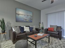
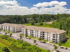
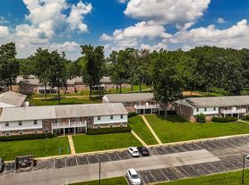
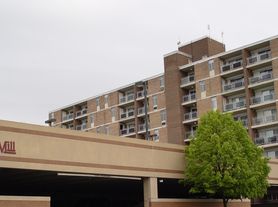
$1,520 - $1,669
Fees may apply
- Studio+
- 1+ ba
- 621+ sqft
Briarwood Apartments and Townhomes
For rent

Unit , sortable column | Sqft, sortable column | Available, sortable column | Base rent, sorted ascending |
|---|---|---|---|
-- 2 bd, 2 ba | -- | Now | Price on request |
Use our interactive map to explore the neighborhood and see how it matches your interests.
ZIP code 16801 covers University Park, Houserville, Dale Summit, Harris Acres and Shingletown around State College and Lemont, in central Pennsylvania’s Nittany Valley. The setting blends developed neighborhoods with wooded hills and open countryside; four distinct seasons bring warm summers and cold, snowy winters. Penn State’s campus and the Palmer Museum of Art anchor notable campus landmarks, while nearby outdoor options include Rothrock State Forest trails and the Arboretum at Penn State’s gardens and walking paths. Downtown State College offers cafés, restaurants, shops, galleries and evening entertainment, with local dining and everyday shopping also found around the area. Sidewalks and trails support walking and cycling, and local and regional bus service connects neighborhoods with campus and downtown. For ZIP code 16801, median rent is $1,750 per month, with a typical range of $450 to $8,300.
Powered by Zillow data and AI technology.
615 Clay Lane is located at 615 Clay Ln, State College, PA. The surrounding area includes multiple restaurants and cafes within 2 miles, such as Starbucks, Kung Fu Tea, and Federal Taphouse.
Based on the latest Zillow data, the median rent across all unit types in ZIP code 16801 in State College is currently $1,750 per month. Prices vary by neighborhood, floor plan, and building amenities.
The schools assigned to 615 Clay Lane include Corl Street El School, Park Forest Middle School, and State College Area High School.
615 Clay Lane is located near 6 grocery stores, including Far Corners Oriental Market (0.4 miles) and McLanahan's Downtown Market (0.5 miles). Additional shopping options, including Comic Swap, are approximately 0.4 miles away.
The closest hospitals and medical facilities to 615 Clay Lane include Moore Building (0.6 miles away), Student Health Center (1 mile away), and Mount Health - Blue Course Drive - Imaging Services (1 mile away).