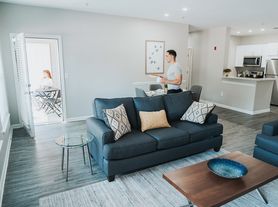
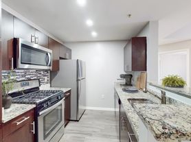
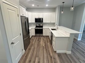
$2,492 - $3,358
- 1+ bd
- 1+ ba
- 824+ sqft
Essex Apartment Homes
For rent
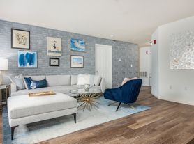
Use our interactive map to explore the neighborhood and see how it matches your interests.
ZIP code 01960 covers West Peabody, Needham Corner, Proctor and South Peabody, inland neighborhoods in northeastern Massachusetts with a mix of residential streets, commercial corridors and wooded open space. New England’s four-season climate brings snowy winters and warm summers. Peabody’s leather-making history is reflected in the city’s historic sites, while nearby Brooksby Farm offers seasonal outdoor activities and walking paths. Shopping and dining range from the Northshore Mall area to local restaurants, cafés and everyday services along major roads. The Peabody Institute Library’s main branch provides books and community programs. Driving is convenient for reaching nearby North Shore destinations, and MBTA bus routes connect parts of Peabody with Salem and other nearby communities. The rental market for ZIP code 01960 has a median rent of $2,795 per month and a typical range of $1,620 to $4,300.
Powered by Zillow data and AI technology.
Alliance Health at Rosewood is located at 22 Johnson St, Peabody, MA. The surrounding area includes multiple restaurants and cafes within 2 miles, such as Asia Taste, SUBWAY, and Bagel World.
The closest hospitals and medical facilities to Alliance Health at Rosewood include Health Care Resource Centers Peabody (0.5 miles away), Atrium at Veronica Drive (1 mile away), and American Red Cross (1 mile away).
The schools assigned to Alliance Health at Rosewood include John McCarthy Elementary School, J Henry Higgins Middle School, and Peabody Veterans Memorial High School.
Alliance Health at Rosewood is located near 5 grocery stores, including Tedeschi Food Shops (0.1 miles) and Big Y World Class Market (0.5 miles). Additional shopping options, including Northeast Nursery, are approximately 0.5 miles away.
Alliance Health at Rosewood is located within 1 mile of Santa Barbara City College.
Claiming gives you access to insights and data about this property.