Lewis Collaborative - Unclaimed
725 Kingsland Ave, Saint Louis, MO 63130


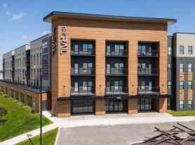
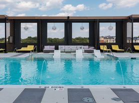

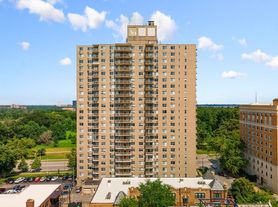
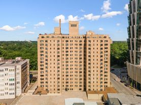

Neighborhood: 63130
Areas of interest
Use our interactive map to explore the neighborhood and see how it matches your interests.
Nearby places
Grocery & Shopping
Five grocery and shopping spots within a 2 min drive, including Raising Cane's Chicken Fingers 0.1 mi away.
Restaurants & Cafes
Five restaurants and cafes within a 1 min drive, including Saint Louis Bubble Tea 0.2 mi away.
Fitness & Recreation
Five fitness/gyms within a 4 min drive, including COCA (Center of Creative Arts) 0.3 mi away.
Hospitals & Medical
Five medical facilities within a 5 min drive, including Ackert Park Skilled Care Facility 0.3 mi away.
Getting around
Nearby schools in Saint Louis
Living in Saint Louis
In ZIP code 63130, Skinker-DeBaliviere, North Central, Northwest, Northeast and Skinker span University City and nearby communities in inner-ring St. Louis County. The area has a four-season Midwestern climate and a mix of residential blocks, commercial corridors and leafy streets. Forest Park and the Delmar Loop are nearby landmarks, with park paths and outdoor recreation close at hand; neighborhood playgrounds and public library services add everyday options. The Loop brings restaurants, coffee shops, independent stores, music and other arts venues, while shopping and dining are also found along local business streets. MetroLink and bus routes connect parts of the area with central St. Louis, and walking and biking can be practical on connected streets. For ZIP code 63130, the median rent is $1,550 per month, with a typical range of $755 to $7,200.
Powered by Zillow data and AI technology.
Similar apartments for rent

Frequently asked questions
Lewis Collaborative is located at 725 Kingsland Ave, Saint Louis, MO. The surrounding area includes multiple restaurants and cafes within 2 miles, such as Saint Louis Bubble Tea, Seoul Taco, and Corner 17.
The closest hospitals and medical facilities to Lewis Collaborative include Ackert Park Skilled Care Facility (0.3 miles away), 11117 Queeny Tower. (0.8 miles away), and Habif Health & Wellness Center - WUSTL (0.9 miles away).
The schools assigned to Lewis Collaborative include Flynn Park Elementary School, Brittany Woods, and University City Sr. High School.
Lewis Collaborative is located near 6 grocery stores, including Long Acres Farm (0.3 miles) and Schnucks University City (0.4 miles). Additional shopping options, including The Wizard's Wagon, are approximately 0.2 miles away.
Lewis Collaborative is located within 0.6 miles of Knight/Bauer Hall - Washington University, 0.7 miles of Washington University, and 0.8 miles of Danforth Campus.
Do you manage this property?
Claiming gives you access to insights and data about this property.
