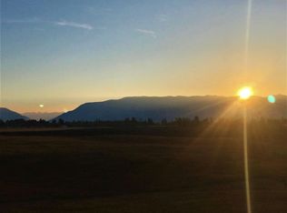
10.02 acre undeveloped lot Flathead County Assessment Code: 0000014394 Paved, private road – road easement for lot Quiet, second level bluff for views and privacy Large home site, plus mature trees and pasture area No covenants / not part of subdivision (Longwood) o Affiliated sub-division has road association o Current lot owner is voluntary member of road assocation Natural spring plus sand well Utilities (electric, cable, phone, etc.) to two corners of the lot Legal definition (to be verified by buyer): A tract of land situated, lying and being in Government Lot 2 of Section 5, Township 29 North, Range 21 West, Principal Meridian, Flathead County, Montana, more particularly described as follows: Beginning at the North 1/4 corner of Section 5; thence S00°14'13" E a distance of 829.14' to a 1/2" rebar; thence S75°39'45" E a distance of 194.68' to a point; thence along a 130.00' radius curve to the right whose radius bears S75°47'51"" E through a central angle of 78°45'51" an arc distance of 178.71' to a point; thence N03°00'37" E a distance of 79.34' to a 1/2"rebar; thence N47°20'00" E a distance of 274.46' to a 1/2" rebar; thence S36°16'38" E a distance of 125.26' to a 5/8" rebar; thence N00°10'11" W a distance of 616.76' to a 5/8" rebar; thence S89°50'50" W a distance of 603.07' to the Point of Beginning. Shown as Parcel 1 of Certificate of Survey No. 17135
This property is not currently displayed as for sale or rent on Zillow. This may be different from what's on other websites or public sources.