This is a single family home. This home is located at 2885 Bombing Range Rd, West Richland, WA 99353.
Pre-foreclosure
Street View
Est. $619,800
2885 Bombing Range Rd, West Richland, WA 99353
--beds
--baths
--sqft
SingleFamily
Built in 2025
2.5 Acres Lot
$619,800 Zestimate®
$--/sqft
$-- HOA
Overview
- 62 days
- 46
- 2
Facts & features
Foreclosure details
Estimated market value
$619,800
$558,000 - $688,000
$2,636/mo
Price history
Price history is unavailable.
Public tax history
| Year | Property taxes | Tax assessment |
|---|---|---|
| 2025 | $13,748 +930.4% | $1,339,700 +971.8% |
| 2024 | $1,334 +0% | $125,000 |
| 2023 | $1,334 -5.2% | $125,000 |
| 2022 | $1,407 -9% | $125,000 |
| 2021 | $1,545 -4.2% | $125,000 |
| 2020 | $1,613 -4% | $125,000 |
| 2019 | $1,681 +128.7% | $125,000 +115.5% |
| 2018 | $735 -13.1% | $58,000 |
| 2017 | $846 +18.3% | $58,000 |
| 2016 | $715 | $58,000 |
| 2015 | $715 -1.8% | $58,000 |
| 2014 | $728 | $58,000 |
| 2013 | $728 | $58,000 |
| 2012 | -- | $58,000 +81.3% |
| 2011 | -- | $32,000 |
| 2010 | -- | $32,000 |
| 2009 | -- | $32,000 |
| 2008 | -- | -- |
| 2007 | -- | -- |
| 2006 | -- | -- |
Find assessor info on the county website
Monthly payment
Climate risks
Neighborhood: 99353


Similar homes
- $595,0004 bd5 ba3.1k sqft2817, West Richland, WA 99353Active
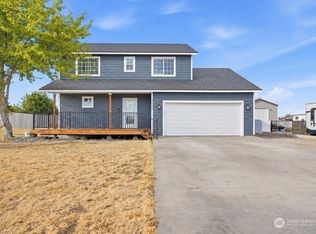 MLS ID #2582838, Jared Harding. NWMLS as distributed by MLS GRID
- $690,0004 bd4 ba3.3k sqft4101 Northlake Dr, West Richland, WA 99353For Sale
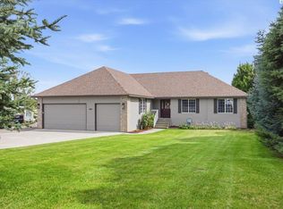
 MLS ID #296557, Sheri Hedding, Berkshire Hathaway Homeservices TC. PACMLS as distributed by MLS GRID
- $629,9004 bd3 ba2.1k sqft4235 Maple Ln, West Richland, WA 99353For Sale
 MLS ID #296333, Jaime Bocek, RE/MAX, The Collective. PACMLS as distributed by MLS GRID
- $599,9005 bd3 ba3.1k sqft4020 Queen St, West Richland, WA 99353For Sale
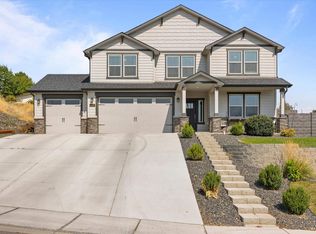 MLS ID #295896, David Gonzalez, Gonzalez Realty Group. PACMLS as distributed by MLS GRID
- $735,0005 bd3 ba3.4k sqft3204 Northridge Ct, West Richland, WA 99353For SaleMLS ID #295580, Jodi Danna, Coldwell Banker Tomlinson. PACMLS as distributed by MLS GRID
- $616,0004 bd2 ba2.2k sqft4421 Rosencrans Rd, West Richland, WA 99353For SaleMLS ID #291831, Jared Retter, Retter and Company Sotheby's. PACMLS as distributed by MLS GRID
- $579,9004 bd3 ba2.8k sqft2744 Madrona Loop, West Richland, WA 99353For SaleMLS ID #296070, Carol Fuller, Retter and Company Sotheby's. PACMLS as distributed by MLS GRID
- $674,9005 bd3 ba3.8k sqft3070 Hickory Ave, West Richland, WA 99353For SaleMLS ID #296226, Scott M Anderson, HomeSmart Elite Brokers. PACMLS as distributed by MLS GRID
- $639,9003 bd2 ba2.3k sqft6749 Argos St, West Richland, WA 99353For SaleMLS ID #294302, Ryan Vogt, EXP Realty, LLC Tri Cities. PACMLS as distributed by MLS GRID
- $639,9005 bd4 ba3.5k sqft5903 Kilawea Dr, West Richland, WA 99353For SaleMLS ID #294712, Dawn Seagren, Kenmore Team. PACMLS as distributed by MLS GRID
- $639,9995 bd2 ba2.4k sqft689 Titan Ave, West Richland, WA 99353For SaleMLS ID #295473, Emily Bailey, RE/MAX Northwest REALTORS. PACMLS as distributed by MLS GRID
- $599,9993 bd3 ba2.1k sqft5121 Milky Way, West Richland, WA 99353For SaleMLS ID #293483, Nick Kunde, Zion Properties, LLC. PACMLS as distributed by MLS GRID
- $499,5004 bd3 ba2k sqft4489 Northlake Dr, West Richland, WA 99353For SaleMLS ID #294941, Angela Matheson, Windermere Group One/Tri-Cities. PACMLS as distributed by MLS GRID
- $690,0005 bd3 ba3.3k sqft5400 Kenra Loop, West Richland, WA 99353For SaleMLS ID #296728, Jed Morris, Windermere Group One/Tri-Cities. PACMLS as distributed by MLS GRID
- $569,0003 bd3 ba2.5k sqft621 Pinnacle Dr, West Richland, WA 99353For SaleMLS ID #296843, Chad Jackman, Windermere Group One/Tri-Cities. PACMLS as distributed by MLS GRID
